Tour description – Baou des Blancs – Vence : an 8 km hike.
Walk in the footsteps of the White Penitents and climb the approximately 370 meters of altitude to the top of Baou des Blancs.
You are rewarded with a fantastic view, and it is a great place to eat your packed lunch or some snacks.
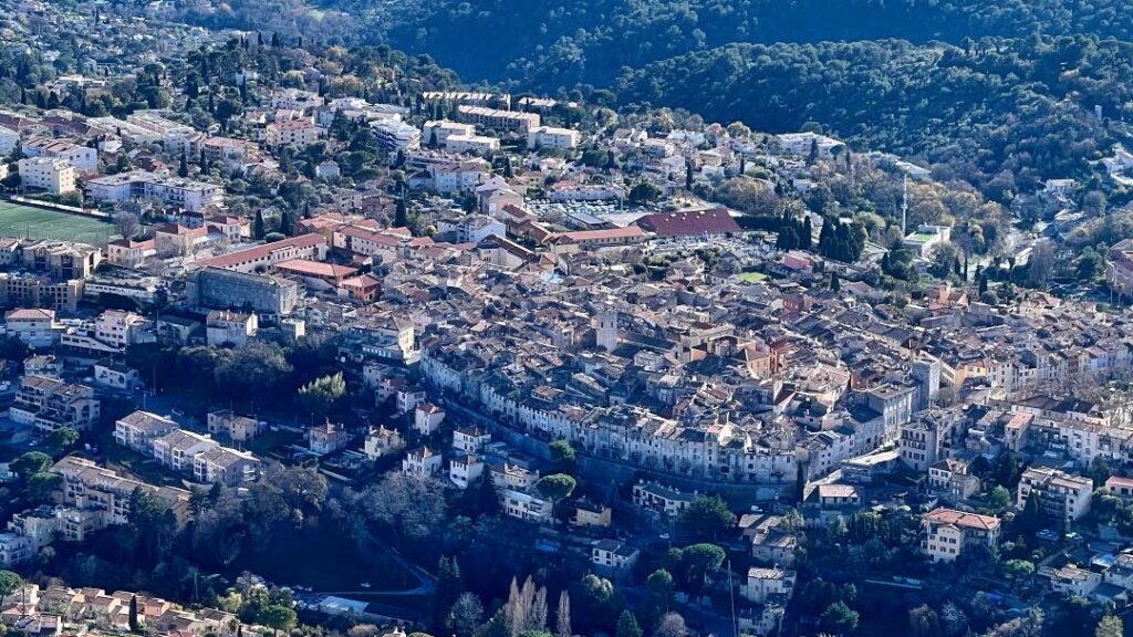
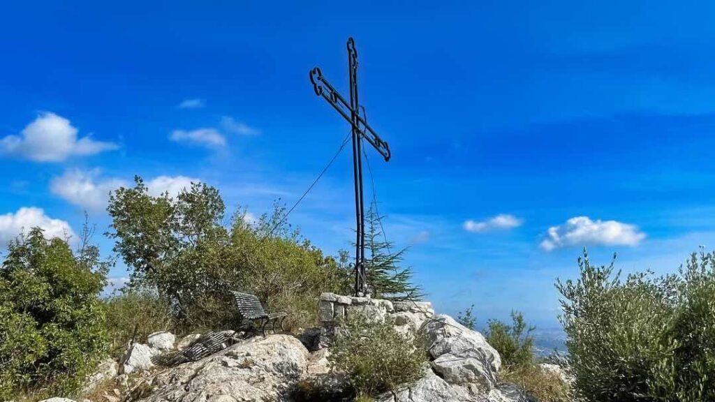
On the bench at the top, you can sit and look down at the historic medieval town of Vence and, at the same time, be a little impressed that you have actually gone so high uphill.
At the top are the ruins of the Castrum Saint Laurent settlement, which dates from the Middle Ages. The buildings served as a refuge during the invasions between the 6th and 10th centuries.
The four Baou mountains
Baou comes from Provencal baus, pronounced “baou”, meaning cliff.
The four baous line up and form a fantastic backdrop to the towns of Vence, Saint-Jeannet and La Gaude. One of the best places to watch them is from the F. Moutet vantage point in Vence:
- Baou des Blancs (673 meters)
- Baou des Noirs (678 meters)
- Baou de Saint-Jeannet (802 metres)
- Baou de la Gaude (796 metres)
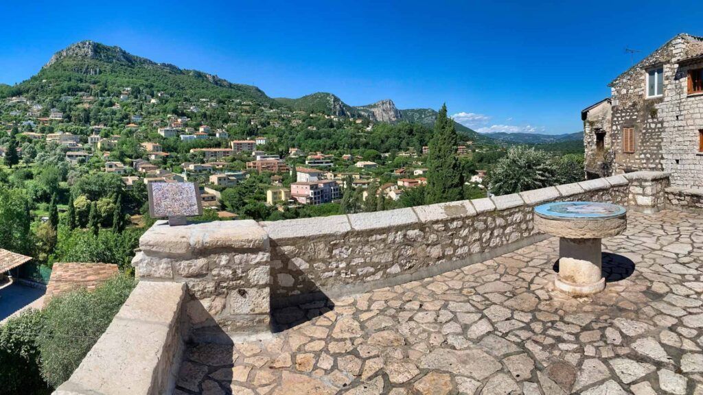
You can hike to all four peaks, which all offer a fantastic view, and at the same time, each peak gives a whole new angle to look at the other peaks from. It is fascinating and must be experienced.
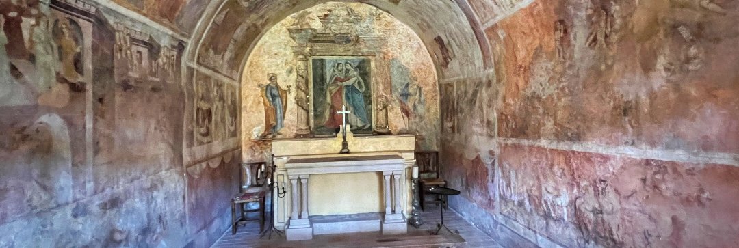
Baou des Blancs takes its name from the Vence brotherhood “Les Pénitents Blancs” – the White Penitents – which went up there annually in procession from Vence. Also read about the chapel of Les Pénitents Blancs in Vence.
- Length: 8 km (2 x 4 km)
- Difficulty: Moderate
- Time required: 2.5-3 hours
- Elevation: +/- 370/34 m
Tour start – Hike Baou des Blancs
There are several routes up to Baou des Blancs. This description starts in downtown Vence from Place du Grand Jardin and takes the not-so-steep route up to the top.
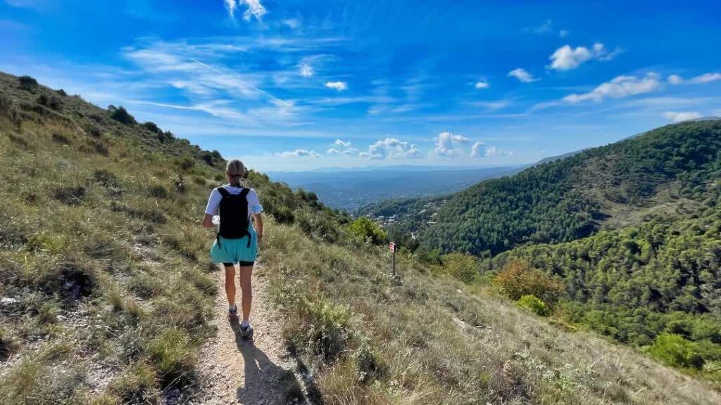
The tour is really well marked with both signs and the yellow markings on the stones along the route.
If you want to go for a shorter version of the same trip, take the car up the main road to Col de Vence and park near where the path crosses the main road and leave from there. Then the trip is only 2.8 kilometers round trip.
From Place de Grand Jardin follow the Avenue de la Résistance towards the Col de Vence and at the first roundabout you go right by Avenue Victor Tuby. Follow the road to the next roundabout and take the road towards Col de Vence – Avenue Henri Giraud.
Follow the road about 500 meters and turn left onto Chemin des Salles.
Now it is going steeply upwards. At some point you have to turn right, and it is important to keep an eye on the yellow markings, because right here the signage is not quite as good. Now follow the road until you come to a beautiful old house. Follow the path to the left of the house and now continue up towards the main road (M2 towards Col de Vence).
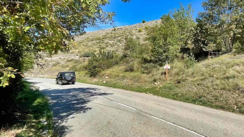
The path ends at the road towards Col de Vence, where you turn left and walk about 50 meters before the path continues on the right side of the road (see picture). Now follow the signs and yellow markings all the way to the top.
If you want to extend the tour, from the top you go back a little along the same route, and then follow the route towards Baou des Noirs. There is really good signage all the way.
By Mette F. W – 2023
CityXee recommends these tours from Nice:
- All
- Art
- Churches & chapels
- Culture & History
- Fountains
- Hiking
- Hotels
- Markets
- Museums
- Tourist office
- Viewpoints
- Wash-houses


